- The Observatory issued the Strong Wind Signal No. 3 on Monday afternoon
- Winds are expected to strengthen, and squally showers are forecast, but the weekend looks clearer
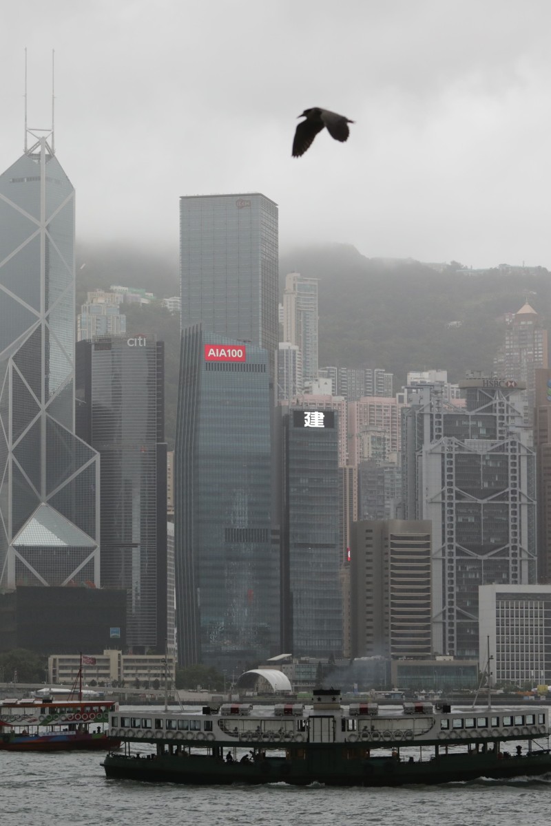
 Expect grey skies, rain and wind tomorrow as Nangka nears the city. Photo: SCMP/May Tse
The Hong Kong Observatory issued the Strong Wind Signal No. 3 at 5.10pm today. That means winds with speeds of 41 to 64 km per hour are expected.
At 5pm, tropical storm Nangka was estimated to be about 500 kilometres south-southeast of Hong Kong.
The Observatory announced on its website that it will consider issuing the T8 signal before dawn on Tuesday morning, as Nangka will be closest to the city tonight and tomorrow morning.
The storm is forecast to move west or west-northwest at about 22 kilometres per hour and intensify gradually.
Local winds are expected to strengthen gradually during the overnight period. The squally showers associated with Nangka will also gradually affect the coast of Guangdong.
When the observatory raised the T9 on the first day of the school in August, many students did not get the day off, as classes were being held online. Now that in-person school is happening, though, it’s important to check the weather and warnings before you leave home tomorrow.