Advertisement

Letters | How smart technology can address public concerns over Lantau reclamation plan

  • Readers discuss a marine life database for Hong Kong, and the city’s roll-out of the e-toll system
Reading Time:2 minutes
Why you can trust SCMP
0
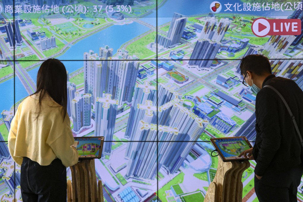
People visit the Civil Engineering and Development Department’s exhibitions on the Kau Yi Chau Artificial Islands starting from February 9. Photo: K.Y. Cheng
Feel strongly about these letters, or any other aspects of the news? Share your views by emailing us your Letter to the Editor at letters@scmp.com or filling in this Google form. Submissions should not exceed 400 words, and must include your full name and address, plus a phone number for verification.
Earlier this month, local green groups criticised the authorities’ closed-door briefing on a reclamation plan to create artificial islands off Lantau. They said the government had failed to proactively share information and properly consult the public, and lacked credibility.

To better engage the public and address concerns about the reclamation project, the government could establish a marine life database to facilitate its plans for and the monitoring of the natural resources affected, and to compare changes in marine life before and after reclamation.

Last month, the Agriculture, Fisheries and Conservation Department and the Swire Institute of Marine Science at the University of Hong Kong signed a memorandum of understanding to collaborate on the management and dissemination of marine biodiversity data via the Biodiversity Geographic Information System (BGIS) expected to be launched next year. This repository of data will foster better understanding and conservation of the city’s wealth of biodiversity.

Once the BGIS has been launched, what should be the next step? The government may well follow the WWF’s example in setting up the Global Observation and Biodiversity Information Portal. This online platform uses a cloud-based geographic information system to support conservation efforts around the world, with geospatial data. The platform includes key data sets for download, and dashboards displaying important statistics.
Similarly, the Hong Kong authorities can use these advanced technologies to set up an interactive map dashboard to illustrate any changes in marine life before and after reclamation. This could be similar to the government’s newly launched online map of “hygiene black spots”, which lets the public compare the situation before and after government cleaning operations.

Further, to create synergy for the conservation efforts of the different government departments – such as the AFCD, Civil Engineering and Development Department, and Development Bureau – the authorities could use the existing Common Operational Picture digital platform, with geospatial information to enable departments to better coordinate conservation efforts.

Advertisement