Hong Kong-based university to come up with maps 'better than Google's'
Researchers say their algorithm allows them to go one better than Google and Apple
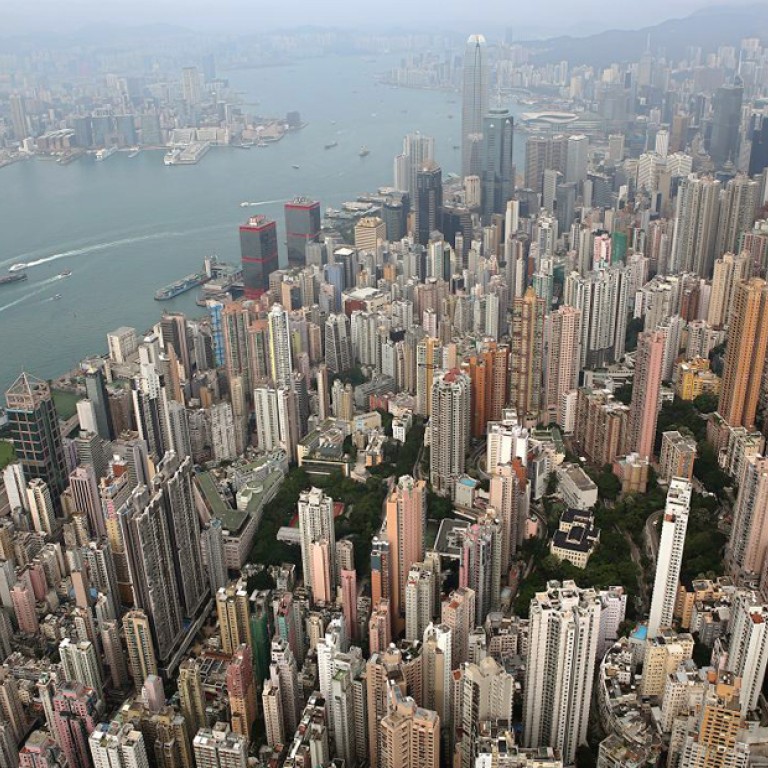
A more complete picture of Hong Kong - including all the off-street nooks and crannies - will soon be available online in 3-D, via mapping developed by the University of Science and Technology.
Researchers are using aerial images and computer programming to produce a comprehensive map of the city - being touted as better than those from Google and Apple - by early next year.

Google's mapping technology uses images taken from the air and from its vehicles on the ground. Its staff manually fills in details missing from the images obtained, so the results may be incomplete or inaccurate.
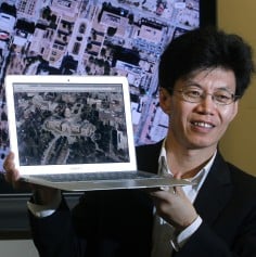
But the university - using the algorithm it developed after more than a decade of research - can map out the side views of buildings and landmarks based on images obtained from planes, helicopters or unmanned drones, eliminating the need for manual input of missing details.
The resulting map may be static, but Quan and his team say the technology holds potential for identifying traffic hot spots and analysing residential-area activities and human behaviour, among other things, that will help city planners, logistics firms and navigation companies.
The cost of mapping out Hong Kong in its entirety will range between HK$4 million and HK$6 million.
Technology giant Apple was estimated to have spent about US$350 million on its global maps project, Quan said.
But HKUST's advanced technology could run into controversy. The fact that it captures the real world with high-pixel accuracy of 10 square centimetres may spark privacy concerns.
"We haven't thought about these issues just yet, because the technology isn't commercial yet," Quan said.
The university has also partnered with Thales Group - a French multinational aerospace, defence, transport and security firm - to create maps for use in search and rescue missions. Thales will provide data gathered by drones for HKUST processing.

