
Hong Kong lowers all typhoon signals as Tropical Storm Cempaka moves away from city
- But forecasters say storm will still bring occasional squally showers and strong winds offshore
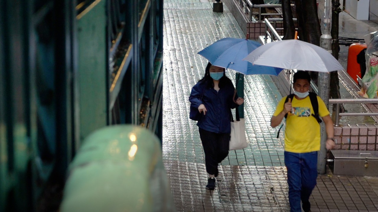
- Sai Kung particularly hard hit, with more than 70 millimetres of rain falling per hour

This story has been made freely available as a public service to our readers. Please consider supporting SCMP’s journalism by subscribing.
The Hong Kong Observatory lowered all typhoon signals at 7.40pm on Tuesday, as Tropical Storm Cempaka moved away from the city.
But the weather authority said Cempaka would still bring occasional squally showers and strong winds offshore.
Hong Kong rescuers, divers search for hiker swept away amid No 3 typhoon warning
It warned that showers would be heavy at times with temperatures ranging between 25 and 28 degrees Celsius for the rest of Tuesday and Wednesday.
“Showers will lessen in the following couple of days with sunny periods,” the Observatory said, adding it would be very hot on Friday and Saturday.

At 8pm, Cempaka was centred about 220km west-southwest of Hong Kong and was forecast to edge closer to the coast of western Guangdong.
The first No 3 signal this year was lowered to signal No 1 at 1.20pm. Classes at kindergartens and at schools for children with physical and intellectual disabilities were suspended on Tuesday.
02:09
Hong Kong’s first black rainstorm warning of 2021 brings landslides and flooding
The Observatory first issued the typhoon standby signal No 1 on Sunday night.
Separately, Tropical Storm In-fa is forecast to move across the sea east of Taiwan in the next few days and intensify gradually.
The Observatory has issued two other No 1 tropical typhoon warnings this year – on June 12 and July 7.
