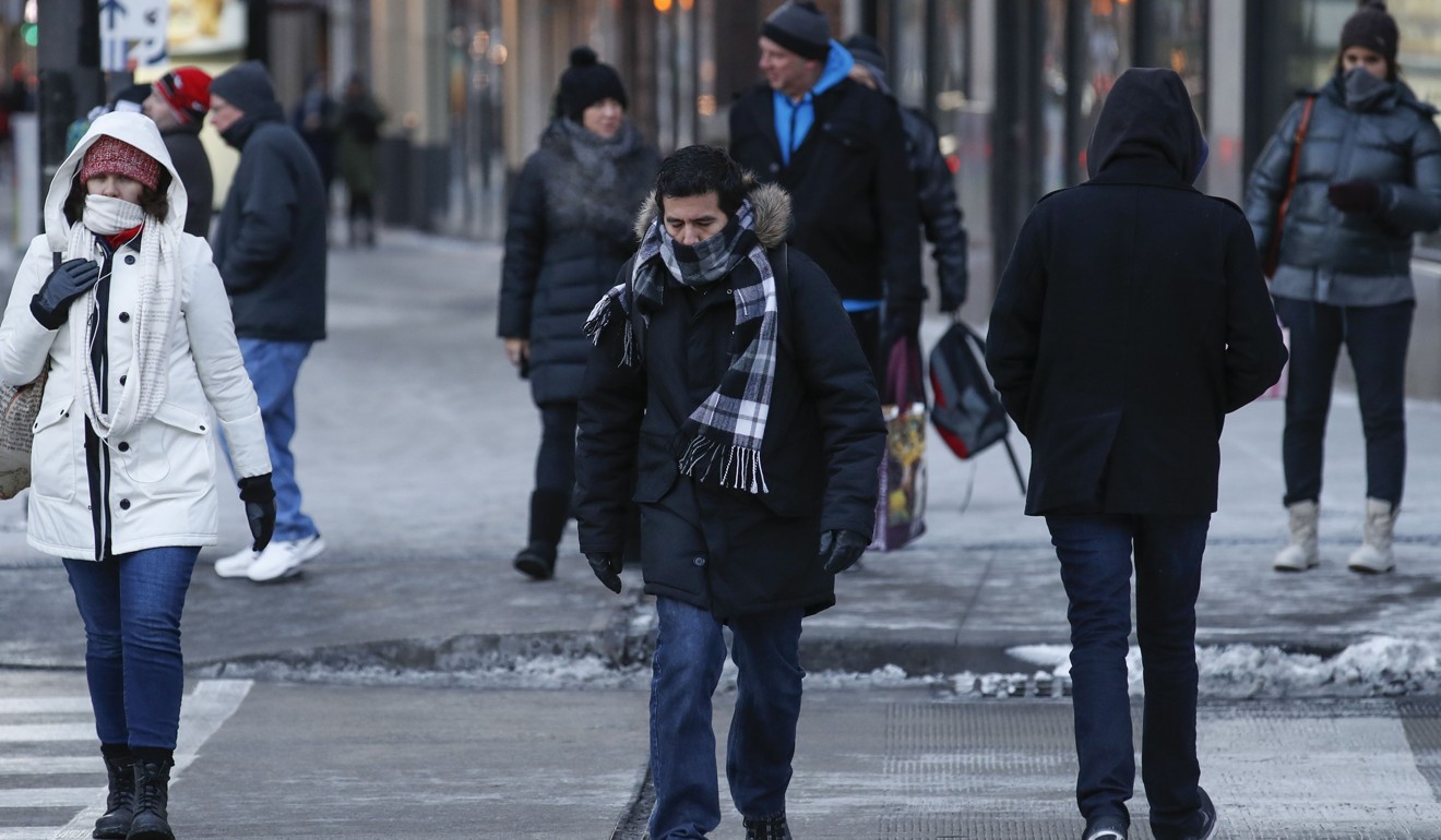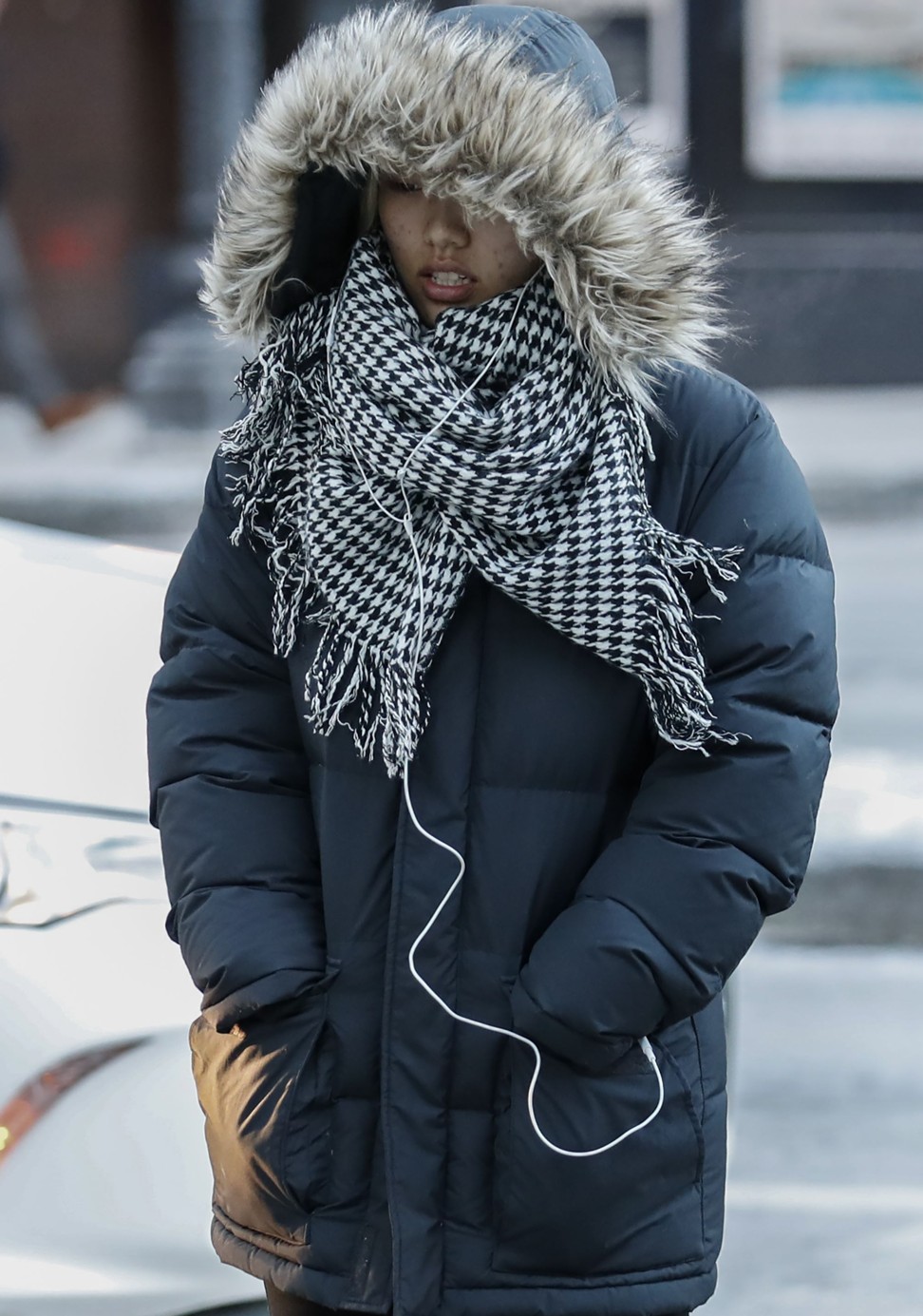
USA will be “coldest place in the world” on New Year’s Eve as relative temperatures drop
Relentless and punishing, repeated blasts of cold air will continue surging into most of America through the first week of the New Year, with only the western United States being spared.
This cold is likely to be the country’s most extreme since February 2015 and, over a long duration, will produce dangerously low temperatures and wind chills over large portions of both the central and eastern United States.
On the morning of New Year’s Day, the National Weather Service predicts the nation’s average low temperature to hover around minus-12.22 Celsius (10 degrees Fahrenheit), with about a third of locations below zero.
These temperatures, compared to normal, will be the coldest in the world.
But the pain won’t end with the start of 2018.
Temperatures that are some 8 to 16 degrees Celsius (15 to 30 degrees Fahrenheit) lower than normal will grip much of the eastern two-thirds of the nation by up to seven to 10 more days.
Some parts of the north central United States could see temperatures an astonishing 22 to 28 degrees (40-50F) colder than normal this weekend.
The bitter chill that first arrived around Christmas Eve and has only dug in, becoming more frigid over time, breaking records from the Upper Midwest to the Northeast.
Chicago’s high temperature on Tuesday of minus-15 degrees (5F) tied the record for the coldest maximum temperature on December 26. Detroit tied the daily record low for December 27 when it hit minus-20 degree (minus-4F) on Wednesday. Those records were previously set in 1925.
International Falls, the so-called icebox of the nation, plummeted to minus-38 degrees (minus-36F) on Wednesday, breaking the previous record of minus-35 degrees (minus-32F) for the date.
Its high the previous day was only minus-11 (minus-12F), tying the coldest maximum temperature on record for December 26.
As this cold air spilled over the Great Lakes it generated incredible snowfall, including 165cm (65 inches) in Erie, shattering the Pennsylvania two-day snowfall record, and up to 157cm (62 inches) in Oswego County, New York.
The piercing cold over the Upper Midwest and Great Lakes is pouring into the Northeast, where the National Weather Service predicts record-cold high temperatures on Thursday.
Highs are only expected to reach minus-9-to-minus-12 degrees (10 -15F) in Boston, about minus-7 degrees (20F) in New York and minus-3 degrees (25F) in Washington.
The final week of the year in Boston is shaping up to be about the coldest in recorded history.
The pinnacle of this unforgiving cold snap is likely to occur between this weekend and the first few days of the New Year, progressing from the Dakotas to the Northeast.
On Saturday, some parts of eastern Montana, the Dakotas and northern Minnesota may see air temperatures crash to minus-40 degrees (minus-40F), and wind chills to minus-46 degrees (minus-50F) or lower.
High temperatures may not exceed minus-23 degrees (minus-10F) on Saturday, which would threaten some records.

On Saturday and Sunday, Minneapolis is forecast to have highs of only about minus-20 degrees (minus-5F), with lows near minus-25 degrees (minus-15F). Wind chills will be considerably lower, as cold as minus-34 degrees (minus-30F). Chicago may see its highs stuck in the single digits both Saturday and New Year’s Day.
Sub-zero wind chills are likely to cover enormous territory New Year’s Day – extending as far as south as Oklahoma, Arkansas and the central Appalachians.
In the East, 2018 may start off even colder than the close of 2017. The American and European model predict New York City will ring in the New Year with an air temperature near minus-12 degrees (10F) and wind chills of minus-17 to minus-21 degrees (zero to minus-5F).
This would rank among the coldest ball drops in the Big Apple in recorded history. The last time it was so cold was in 1962; 1917 marked the coldest ball drop, when the air temperature was a mere minus-17 degrees (1F).


