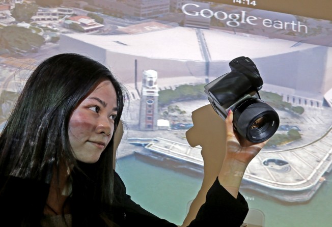
The making of 3D Google Earth map: clouds, typhoons, can’t stop Hong Kong firm
Mapping and survey firm Dimap overcomes weather challenges to deliver 200,000 helicopter-mounted images

Clouds, tall buildings and the risk of typhoons were among the challenges for a Hong Kong company charged with taking the images behind the first 3D Google Earth map of an Asian city.
Mapping and survey firm Dimap followed strict flying regulations to use five Hasselblad cameras mounted on a helicopter to take 16 pictures of each building to create 3D images so realistic Google claims it is like flying through the city.
Print option is available for subscribers only.
SUBSCRIBE NOW