China’s DJI offers system to track airborne drones as governments tighten restrictions
The company's AeroScope solution broadcasts a drone’s location, identification and flight direction for law enforcement agencies to monitor, and has been installed at two undisclosed international airports

DJI, the world’s largest maker of recreational drones, has introduced a system that identifies and monitors airborne drones, as authorities in China and elsewhere look to crack down on use of the devices near airports and other sensitive locations.
The Shenzhen-based company's AeroScope system uses the existing communications link between a drone and its remote controller to broadcast identification information, such as a registration or serial number, as well as other details including location, altitude, speed and direction.
Police, security agencies and aviation authorities can use an AeroScope receiver to monitor, analyse and act on that information, according to DJI.
The system “can help solve policy challenges, head off restrictive regulations, and provide accountability without being expensive or intrusive for drone pilots,” said Brendan Schulman, DJI’s vice-president for policy and legal affairs, in a statement.
“As drones have become an everyday tool for professional and personal use, authorities want to be sure they can identify who is flying near sensitive locations or in ways that raise serious concerns.”
In May, aviation regulator the Civil Aviation Administration of China introduced a real-name registration policy for drone owners after a series of incidents involving drones, including one in April when more than 240 airline flights were disrupted by drones flying near Chongqing Jiangbei International Airport in the country's southwest.
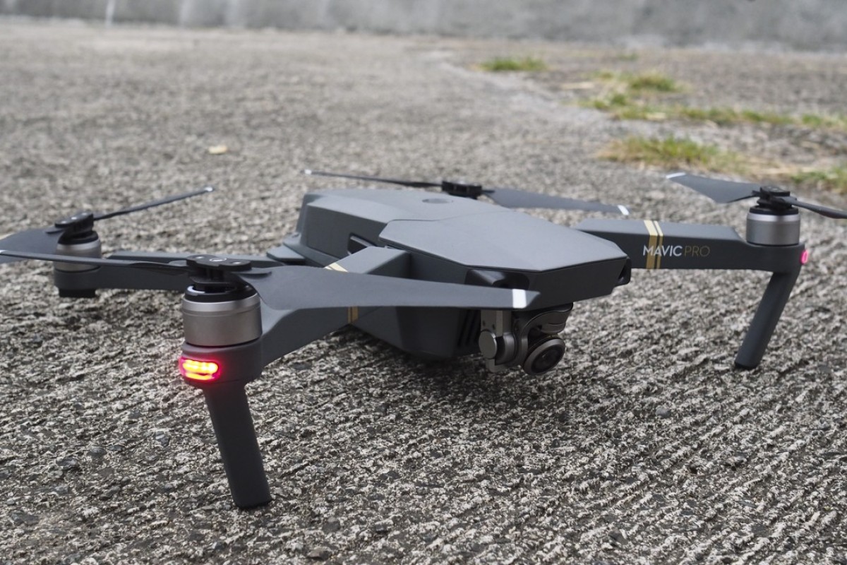
The real-name rule targets owners of drones weighing more than 250g, which covers nearly all of DJI’s products, like its popular Phantom and Mavic models.
In the United States last month, the Federal Aviation Administration restricted drone flights over certain landmarks, including the Statue of Liberty in New York, at the request of law enforcement agencies.
DJI said an AeroScope receiver can immediately sense a drone as it powers on, then plot its location on a map while displaying a registration number. The system has been installed at two undisclosed international airports since April, the company said, and it is testing the system’s performance in other environments.
Paul Haswell, a partner at international law firm Pinsent Masons, said that speculation about the drone flight information from other countries “being sent to China and stored on Chinese servers has raised justifiable concerns over privacy and how this data might be used”.
DJI said AeroScope will not automatically transmit any personally identifiable information until regulations or policies in the pilot’s jurisdiction require it.
The global market for business services using drones is estimated at about US$127 billion, according to professional services firm PwC. In a report on Friday, PwC said the market for drone solutions in the power and utilities industries is worth US$9.46 billion a year.
