Advertisement
Advertisement
Hong Kong weather
Get more with myNEWS
A personalised news feed of stories that matter to you
Learn more
The Hong Kong Observatory is to issue a T1 warning as Typhoon Koinu nears the city. Photo: Sam Tsang

Typhoon Koinu: Hong Kong Observatory issues T1 warning signal as city logs hottest October day on record

  • Warning issued as Typhoon Koinu edges within 800km of Hong Kong while city swelters in extremely hot weather
  • No 1 signal will remain in force for most of Thursday, forecaster says
This story has been made freely available as a public service to our readers. Please consider supporting SCMP’s journalism by subscribing.
The Observatory issued the No 1 warning signal at 9.40pm on Wednesday as Typhoon Koinu moved within 800km (497 miles) of Hong Kong, while the city earlier logged its hottest October day on record.

The No 1 signal will remain in force for most of Thursday, according to the forecaster.

Koinu, named after the Japanese word for the constellation Canis Minor, was expected to skirt the southern part of Taiwan and move towards the coastal waters of eastern Guangdong on Thursday, while maintaining a distance of more than 500km from Hong Kong, the forecaster said.

The Observatory, meanwhile, recorded a temperature of 34.6 degrees Celsius (94.3 Fahrenheit) on Wednesday afternoon.

A “very hot weather” warning was issued at about 7am and authorities told the public they should avoid prolonged outdoor activities and stay in shaded areas as much as possible.

“Koinu’s outer downdraft is bringing generally clear skies and extremely hot weather to South China,” the Observatory said.

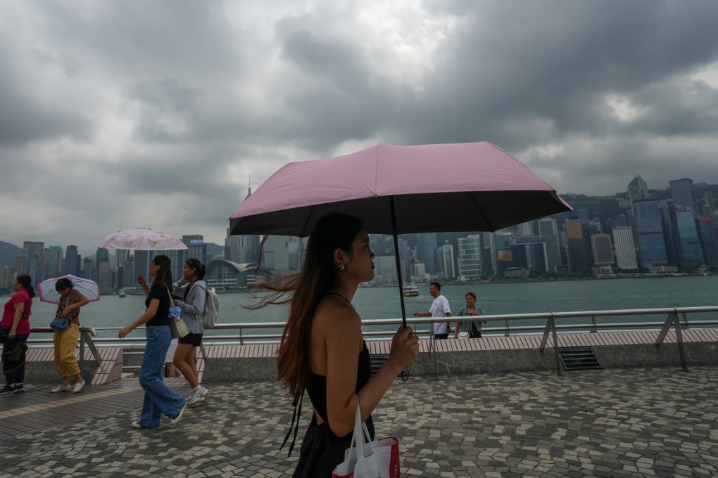
Cloudy skies do not deter sightseers in Tsim Sha Tsui. Photo: Sam Tsang

The need to issue higher signals depended on how fast Koinu weakened and its distance from the Pearl River Delta, it said.

The news came as the west of the city started to suffer a deterioration in air quality.

Air pollution levels in Yuen Long and Tuen Mun were listed as high at 3pm, with Tung Chung the worst affected.

The Environmental Protection Department advised children, the elderly and people with heart or respiratory conditions to reduce outdoor physical exertion and activities, especially in areas with heavy traffic.

The Observatory added that, under the influence of Koinu and a northeast monsoon, the weather would be “appreciably cooler” over the weekend, with squally showers and strong northerly winds, especially offshore and on high ground.

The forecaster said in its monthly round-up that September was an “eventful month in Hong Kong with the ferocious strike by Super Typhoon Saola on September 1 and 2, and the phenomenal rainstorm on September 7 and 8”.

Hong Kong to issue T1 alert on Wednesday night as Typhoon Koinu nears

“Saola was the second most intense tropical cyclone affecting the South China Sea since 1950, and a hurricane signal No 10 was issued in Hong Kong during the passage of Saola,” the weather service said.

It was the first No 10 signal since Super Typhoon Mangkhut hit Hong Kong in September 2018.

The record rainfall last month, associated with a low-pressure trough related to the remnants of Tropical Cyclone Haikui, led to the forecaster issuing a Black Rainstorm Warning that lasted 16 hours and 35 minutes.

The Observatory said that it was the longest alert on record since the introduction of the rainstorm warning system in 1992.

“Mainly attributed to the heavy rain associated with Saola and troughs of low pressure in the first half of the month, the Observatory recorded an all-time-high September rainfall of 1,067.1mm (42 inches), more than three times the September normal of 321.4mm,” the weather service reported.

Hong Kong areas hard-hit by last big storm, record rainfall brace for typhoon

Rainfall levels exceeded the previous record of 844.2mm in September 1952.

“The rainfall deficit in the first eight months of this year was mostly compensated for by the record-breaking rainfall in September,” the Observatory added.

“The accumulated rainfall this year up to September was 2,224.3mm, slightly less than the normal figure of 2,242.8mm for the same period.”

The stormy weather was, however, followed by sunny and very hot weather for 10 days from September 21 to 30.

That also set a record as the longest consecutive run of very hot days for September.

It included the hottest Mid-Autumn Festival temperature on September 29. The maximum temperature hit 33.7 degrees during the day.

Environmental group Friends of the Earth Hong Kong said more frequent and severe typhoons, heatwaves and rainstorms were expected because of global warning, which would threaten lives and create economic losses.

Jeffrey Hung Oi-shing, the group’s chief executive, appealed to the government to carry out a citywide risk assessment to establish how vulnerable Hong Kong was to climate change.

He said the city should strengthen its resilience, including flood protection and the provision of emergency supplies and temporary shelters.

1